How to Create an Interactive Venue Map for an Automotive Event
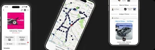
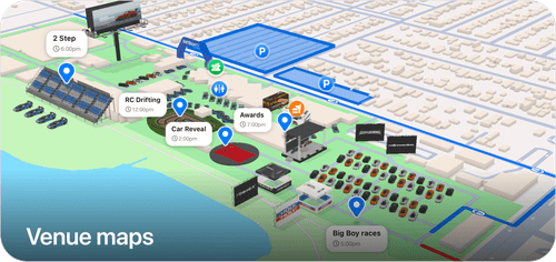
AutoLNK Venue Maps is a free web based editor that lets automotive event organizers build interactive 3D venue maps with parking zones, vendor rows, entrances, roll in routes, activity areas, and indoor layouts published directly on the event page attendees already use.
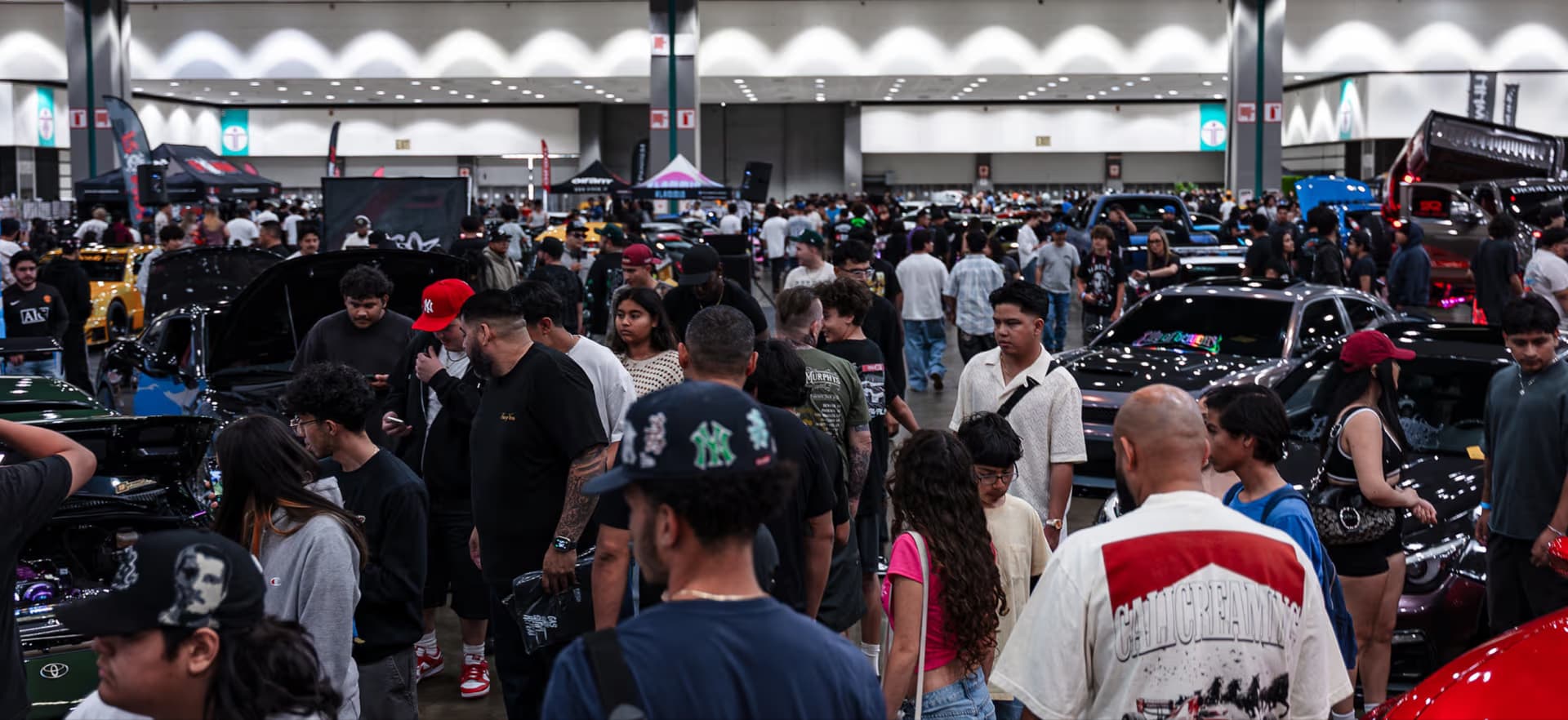
For car shows, meets, rallies, Cars & Coffee events, festivals, motorsports events, and vendor markets, the venue map is often one of the most important parts of the event. People need to know where to park, where to enter, where vendors are, where activities are happening, and how to move through the venue without confusion.
Instead of relying on flat screenshots, flyers, or last minute parking instructions, organizers can build a real interactive map from the AutoLNK web platform.
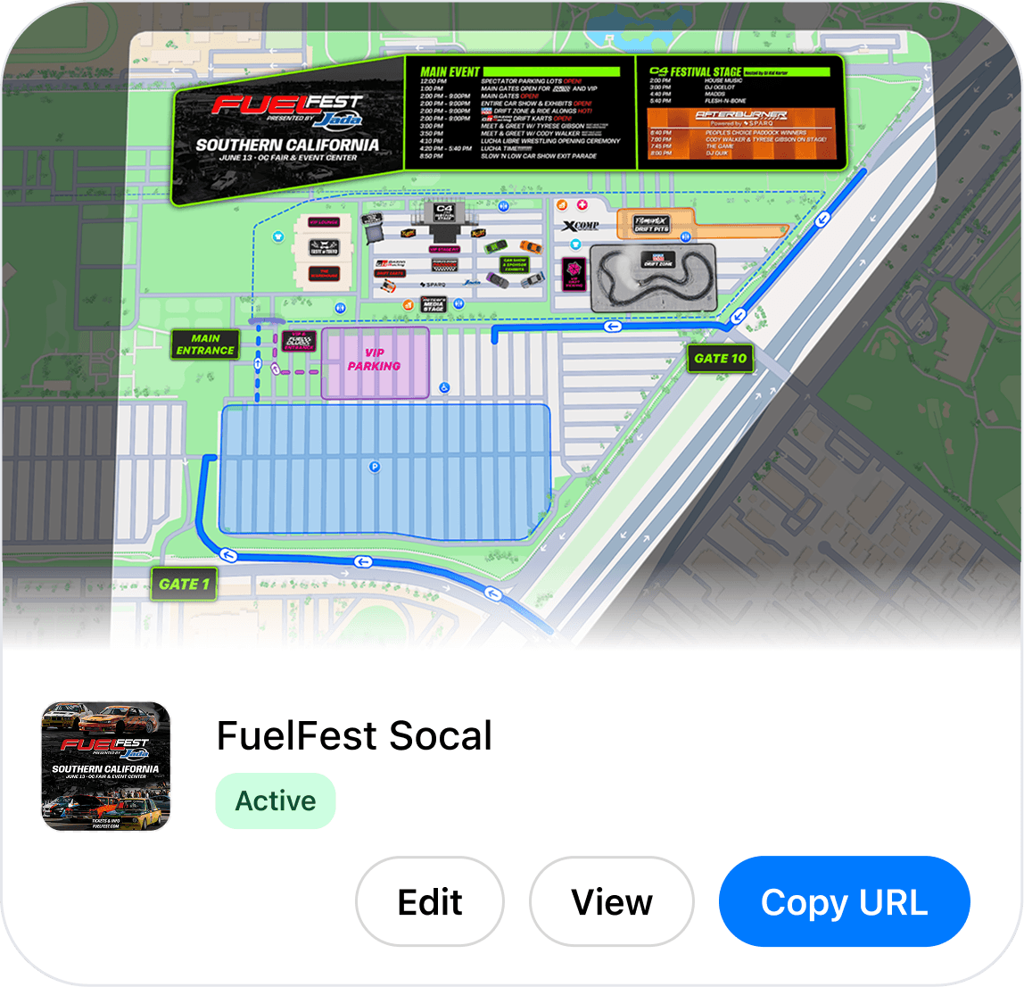
Why Do Car Shows Need Interactive Venue Maps?
Most automotive events are not just one pin on a map. A real car show can include show parking, spectator parking, VIP sections, vendor rows, food trucks, stages, awards, registration, camping, staff zones, and multiple entrances or exits.
That creates the same questions at almost every event:
- Where do I park?
- Where is the entrance?
- Where are vendors?
- Where is registration?
- Where is the show area?
- Where do I go if I am VIP, media, staff, or a driver?
AutoLNK Venue Maps solves this by putting the event layout inside an interactive map that can be viewed from the web or inside the AutoLNK app.
For more on how AutoLNK handles full event discovery, see Best App for Car Meets in 2026.
How Do You Build a Venue Map for a Car Show?
Organizers can create and edit venue maps from the AutoLNK web editor.
A typical setup looks like this:
- Create or open your event in AutoLNK.
- Open the venue map editor from the web dashboard.
- Add parking areas, vendor zones, entrances, labels, and route paths.
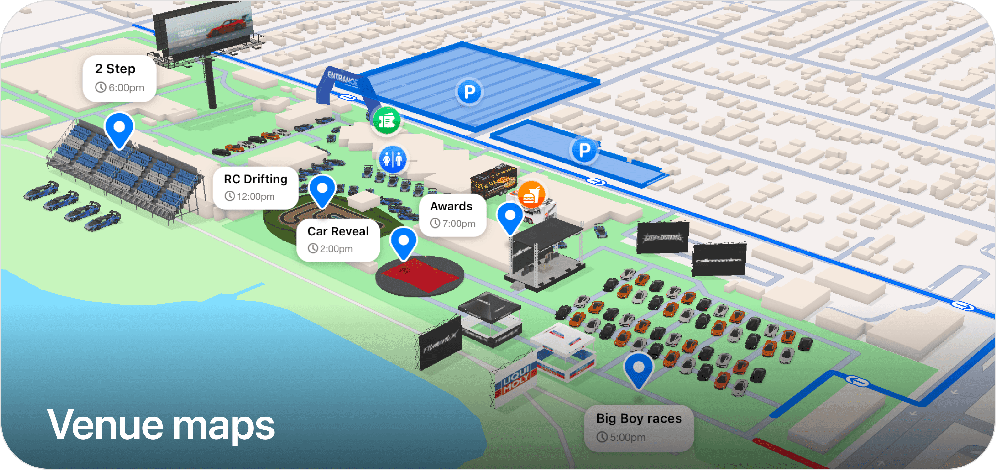
- Place icons and 3D objects like food trucks, stages, bathrooms, cars, and booths.
- Save the map so attendees can view it from the event page.
This gives organizers a custom venue map for the exact event layout instead of forcing attendees to understand a generic address, pin drop, or parking lot screenshot.
What Can You Add to an AutoLNK Venue Map?
AutoLNK Venue Maps supports 8 core map element types, plus building controls for cleaner event layouts.
Organizers can add:
- Route paths for traffic flow, roll-in routes, cruise paths, and foot paths
- Areas for parking zones, vendor sections, VIP, camping, show fields, or restricted spaces
- Entrances so attendees know exactly where to enter
- Labels to name important zones on the map
- Barriers to show closed roads, blocked sections, or traffic control points
- Vehicle areas for grouped parking or show layouts
- Images for sponsor graphics, custom markers, or event specific visuals
- Car animations for drift, drag, roll-in, and activity
Organizers can also hide buildings when the map needs to match the real event setup.
What 3D Objects Can Organizers Place on the Map?
Organizers can place 10+ categories of 3D objects to make venue maps easier to understand before attendees arrive.
AutoLNK supports objects such as:
- Billboards
- Entrance arches
- Vendor booths
- Food trucks
- Stages
- Bathrooms
- Stands
- Cars
- Covered cars
- Track layouts
A vendor area can look like a vendor area. A stage can look like a stage. A food truck section can actually show food trucks. The closer the map feels to the real venue, the easier it is for attendees, vendors, staff, and drivers to move through the event.
What Icons Are Available for Fast Navigation?
AutoLNK includes 12 attendee icons for common event needs: restrooms, food, vendors, parking, cars, camping, first aid, ADA, box office, foot paths, VIP, and awards. Icons make venue maps faster to read on mobile.
Do Venue Maps Work for Indoor Events?
Yes. AutoLNK Venue Maps supports outdoor and indoor event layouts.
Organizers can switch between outdoor and indoor planning, anchor an indoor map to a building, and build layouts that fit the real structure of the venue. This is useful for indoor car shows, expo halls, race facilities, vendor areas, and multi zone automotive festivals.
For larger event operations, see AutoLNK Events: The Complete Platform for Automotive Shows, Cruises, Meets, and Rallies.
Can Venue Maps Show Live Activities?
Yes. AutoLNK Venue Maps can support activity markers and live moments happening during the event.
Organizers can place activities like car limbo, awards, 2-step competitions, live demos, or scheduled attractions directly on the map. When something is live, attendees can see where it is happening and move toward it.
Venue maps can also include visual effects like fireworks, lasers, spotlights, and car animations to make event areas feel more interactive.
Static Map vs Dropped Pin vs AutoLNK Venue Maps
| Feature | Static flyer or screenshot | Dropped pin or address link | AutoLNK Venue Maps |
|---|---|---|---|
| Shows parking zones | Limited | No | Yes |
| Shows vendor rows | Limited | No | Yes |
| Supports route paths | No | No | Yes |
| Supports 3D objects | No | No | Yes |
| Supports indoor layouts | No | No | Yes |
| Can show live activities | No | No | Yes |
| Built for automotive events | No | No | Yes |
| Connected to the event page | No | No | Yes |
| Editable from the web | No | Limited | Yes |
AutoLNK Venue Maps are different because they are built around how automotive events actually operate. Car shows and meets need parking flow, vehicle areas, roll in routes, vendor rows, staging, awards, VIP sections, food trucks, bathrooms, and spectator movement all working together.
FAQ
Is AutoLNK Venue Maps free for organizers?
Yes. Venue Maps is included with AutoLNK events at no additional cost. Organizers can use the web editor to create interactive venue maps with routes, areas, labels, icons, 3D objects, indoor layouts, and activity markers for their event.
Can attendees view the venue map without downloading the app?
Yes. Venue maps can be viewed from the web or inside the AutoLNK app. This makes it easier for attendees to check parking, entrances, vendors, routes, and activity areas before they arrive or while they are at the event.
Can I update a venue map after publishing it?
Yes. Organizers can edit venue maps from the web editor. This is useful when parking changes, vendor placement moves, entrances shift, or a day-of update needs to be reflected clearly for attendees.
Do venue maps work for Cars & Coffee events?
Yes. Venue maps work well for recurring Cars & Coffee events because they can show parking areas, entrance flow, vendor spots, sponsor areas, and recurring meet layouts. For more on recurring event pages, see What is the Best App for Cars and Coffee Events in 2026?.
Can venue maps show roll-in routes or cruise paths?
Yes. Organizers can use route paths to show roll-in flow, traffic movement, foot paths, cruise paths, and staging routes. For moving events and group drives, AutoLNK also supports DriveShare. Learn more in AutoLNK Built the Best Drive Sharing App.
Build a Better Venue Map for Your Next Event
Venue maps should help attendees understand the event before they arrive and stay oriented while they are there.
With AutoLNK Venue Maps, organizers can build free interactive 3D maps from the web, customize the layout for their exact event, and give attendees a clearer experience from the moment they show up.